The Qhapaq Ñam, The Inca Trail That Linked South America
The Qhapaq Ñan or Inca Trail is a huge and complex network of roads that linked all the points of the Inca Empire. It started from its capital, Cuzco, and connected the current countries of Ecuador, Colombia, Peru, Bolivia, Chile and Argentina. It is a cultural heritage of impressive magnitudes that today is still passable in some sections. Would you like to visit it with us?
What is the Qhapaq Ñan or Inca Trail
We are talking about a network of roads of impressive dimensions, more than 30,000 kilometers, that linked almost all of South America. Like the road network built during the Roman Empire in Europe and part of Africa and Asia, the Inca Trail linked all the provinces that made up the Inca Empire.
From the capital of the Empire, Cuzco, several branches of this enormous road started that went towards all the cardinal points. And from these branches came more forks that reached the main points of the entire territory controlled by the Incas.
Its origin is found in a series of pre-Inca and Inca roads that were unified during the 15th century under the government of Cuzco. This great road project was essential to be able to control all the territory that they had under their power.
Thus, through the Inca Trail they could exercise political, military, ideological and administrative control of all the populations that made up this enormous empire. And in addition, the city of Cuzco could be supplied in record time with food from all parts of the territory.
It is said that in less than a day fresh fish could reach the Inca’s table. A journey of hundreds of kilometers that was traveled at high speed by the chasquis. These were professional brokers in charge of carrying news, orders and products from one side of the Inca to the other.
The chronicles of the Spaniards say that this path was so impressive and well elaborated that women could travel it while weaving without having to look at the ground for fear of tripping. And its importance is such that in 2014 it was recognized by UNESCO as a World Heritage Site.
Sections on the Inca Trail visible today
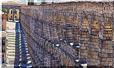
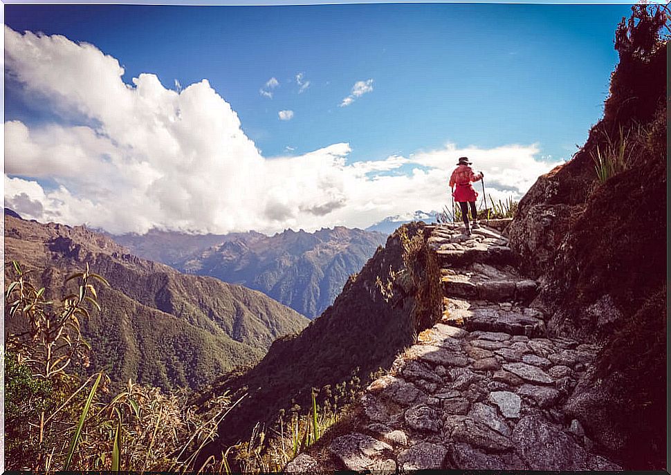
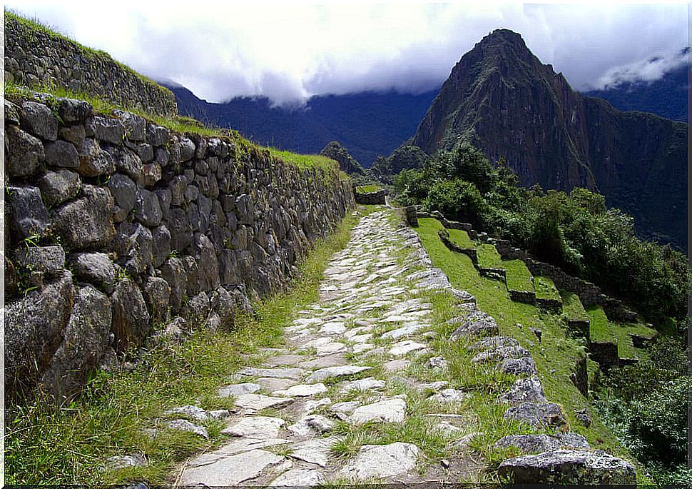
The Inca Trail was a great work of engineering. Several meters wide and paved for the most part, it has been preserved in many of its sections. Some of them can be traveled, while others are occupied by modern roads or have not yet been discovered.
The Inca Trail in Peru
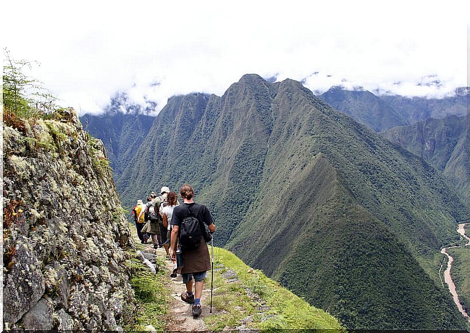
The entire network of roads that made up the Qhapaq Ñan started from Cuzco, therefore, this area is where more sections are preserved. Among them, the road that leads from the city of Cuzco to Machu Picchu stands out. It is one of the busiest by tourists and visitors to the area who want to live a unique experience.
The La Raya- Desaguadero section is another of the most important, since it linked the capital of the Empire with the place where according to mythology the first Incas were born, Lake Titicaca. Through this road one also reached present-day Bolivia.
Road in El Pucará de Tilcara, Argentina
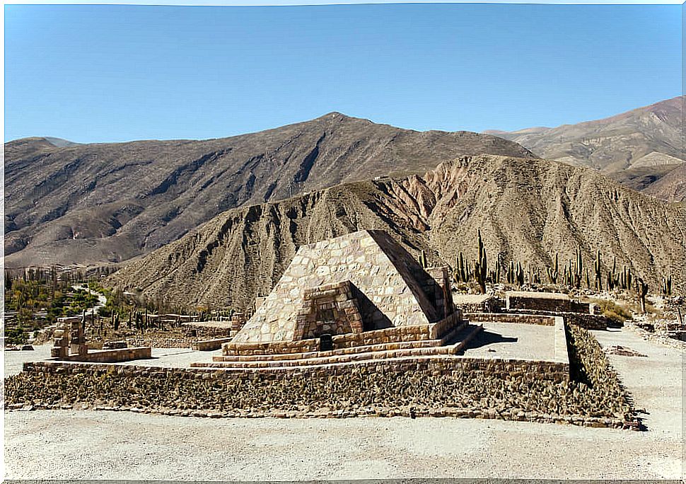
In Argentina you can also see sections of this impressive road. One of them is located next to the archaeological site of Pucará de Tilcara. From this point you can start a tourist circuit that runs approximately 1500 kilometers from north to south.
In other cities such as Salta, Tucumán, San Juan, Catamarca, Mendoza or Jujuy, the Inca Trail has become a backbone for tourism visiting the area.
The Qhapaq Ñan in Colombia
In Colombia you can also see remains of this huge road. Thus, in the Nariño area there are many indigenous communities that have maintained it thanks to the importance they gave it. Its use, above all, was as a road that served the thousands of pilgrims who passed through there to make offerings to the Apu or Galeras volcano.
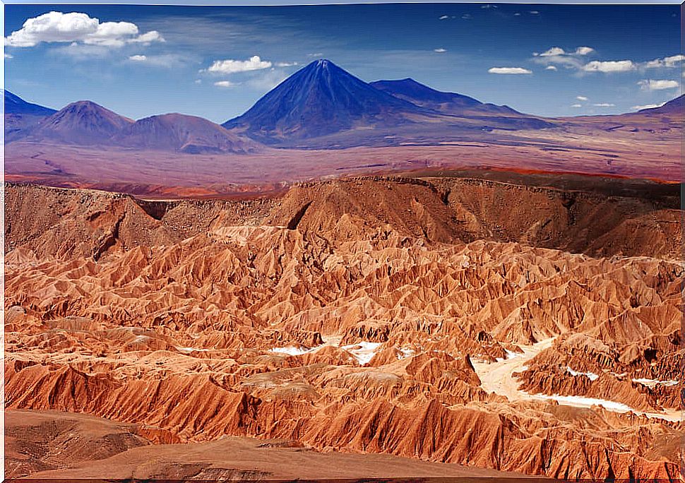
The Inca Trail in Chile and Ecuador
They are two of the most difficult sections to build. And is that to build the road that led to Chile had to cross one of the hottest deserts on the planet, the Atacama desert. Meanwhile, to get to Ecuador, the engineers faced one of the most difficult mountainous areas of the entire journey.